


20221213 La Londe Halte

Childebert
User
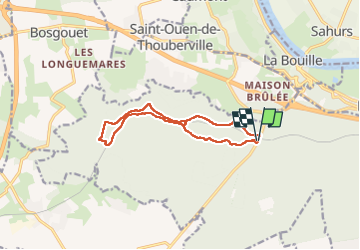

Length
10.9 km

Max alt
133 m

Uphill gradient
185 m
Km-Effort
13.3 km

Min alt
59 m

Downhill gradient
185 m
Boucle
Yes
Creation date :
2022-12-13 12:55:59.777
Updated on :
2022-12-13 18:01:15.779
2h57
Difficulty : Medium

FREE GPS app for hiking
 SityTrail
IGN / Geographical institutes
SityTrail Plus
The world is yours!
About
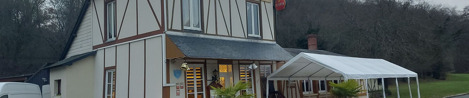
Trail Walking of 10.9 km to be discovered at Normandy, Seine-Maritime, La Londe. This trail is proposed by Childebert.
Photos

Positioning
Country:
France
Region :
Normandy
Department/Province :
Seine-Maritime
Municipality :
La Londe
Location:
Unknown
Start:(Dec)
Start:(UTM)
348770 ; 5466679 (31U) N.
Comments